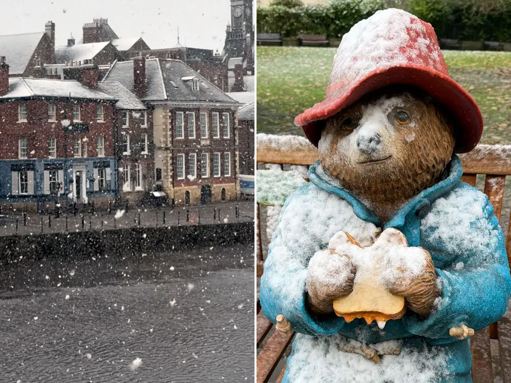
York has seen its first snow of the season as the cold snap continues.
Short but intense wintry showers saw snow come down across the city.
It settled briefly but has since cleared. Temperatures are set to drop to -1°C in York tonight with more wintry showers forecast for tomorrow.
Video
There is more snow on the North York Moors with a proper covering on Blakey Ridge this morning.
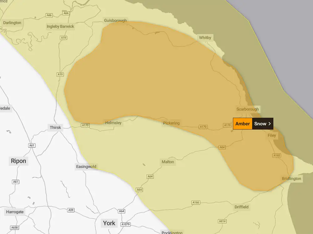
A yellow weather warning for snow and ice is now in force until midnight tomorrow. It affects areas of North Yorkshire to the north and east of York, covering Malton, Helmsley, Pickering, Scarborough and Whitby.
The Met Office has updated its amber snow warning for tomorrow (Thursday, 20 November). It comes into force at 3am and runs till 9pm.
The map of the area affected is below.
Met Office chief forecaster Neil Armstrong said: “Cold Arctic air from the north is firmly in charge of the UK’s weather, bringing the first notable cold snap of this autumn and giving an early taste of winter weather.
“As a result, winter hazards are likely through the next few days, with snow and ice a particular hazard, and the coldest conditions likely on Wednesday and Thursday.
“Wintry showers will affect areas exposed to the brisk northerly wind, in particular Northern Ireland, southwest Wales, south-west England, north-east England and across the northern half of Scotland.
“Whilst not all places will see lying snow, where showers are most frequent accumulations of 2-5cm will be possible.
“On higher ground in Scotland, 15-20cm could accumulate, and potentially as much as 15-25cm over the North York Moors and Yorkshire Wolds.”