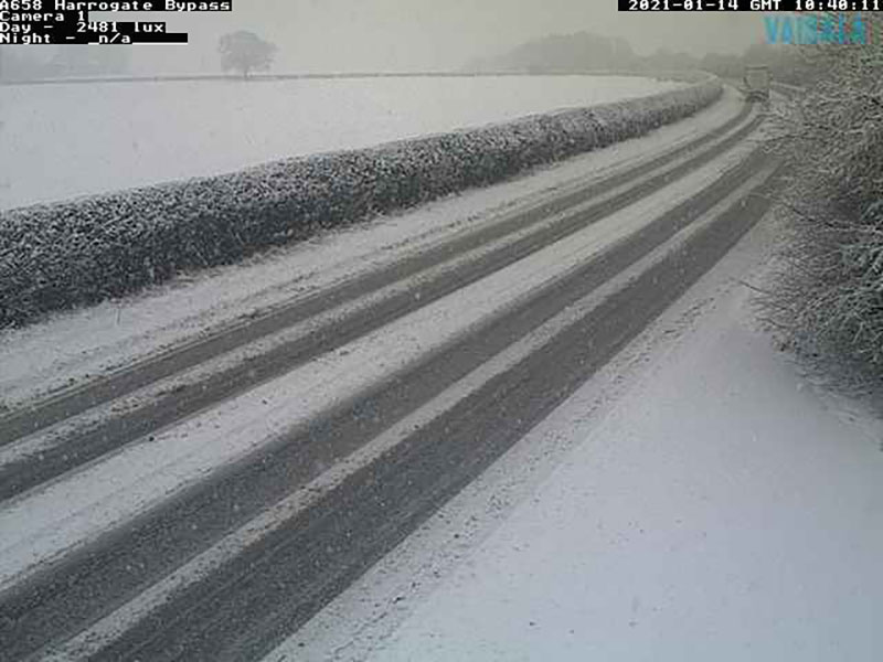
The Met Office have issued a yellow warning for snow and ice for North Yorkshire from Wednesday into Thursday evening.
It currently covers the East Coast, the Wolds and the North York Moors where the most snow is expected.
Areas to the northwest of Easingwold will be affected by icy conditions.
At the moment the weather warning does not cover York or Selby but it will be very cold overnight and this could change later.
Wintry sleet showers are forecast for York tomorrow (Wednesday).
Snow showers and icy conditions may lead to disruption. Please take extra care if travelling.
The Met Office says: “Wintry showers feeding inland from the North Sea through Wednesday and Thursday may give some snow accumulations in places, especially farther inland away from the immediate windward coast.
“Whilst there will be a lot of regional variation, with some places seeing little or no lying snow, where showers are most frequent accumulations of 2-5 cm are possible.
“However, the North York Moors, and perhaps parts of the Yorkshire Wolds, could potentially receive 15-25 cm of snow by Thursday, leading to some significant disruption.
“Gusty winds and perhaps a few lightning strikes may accompany some of the showers, posing as additional hazards. Where showers persist and/or snow partially thaws and then refreezes overnight, this will bring a risk of ice.”
See full details on the Met Office website