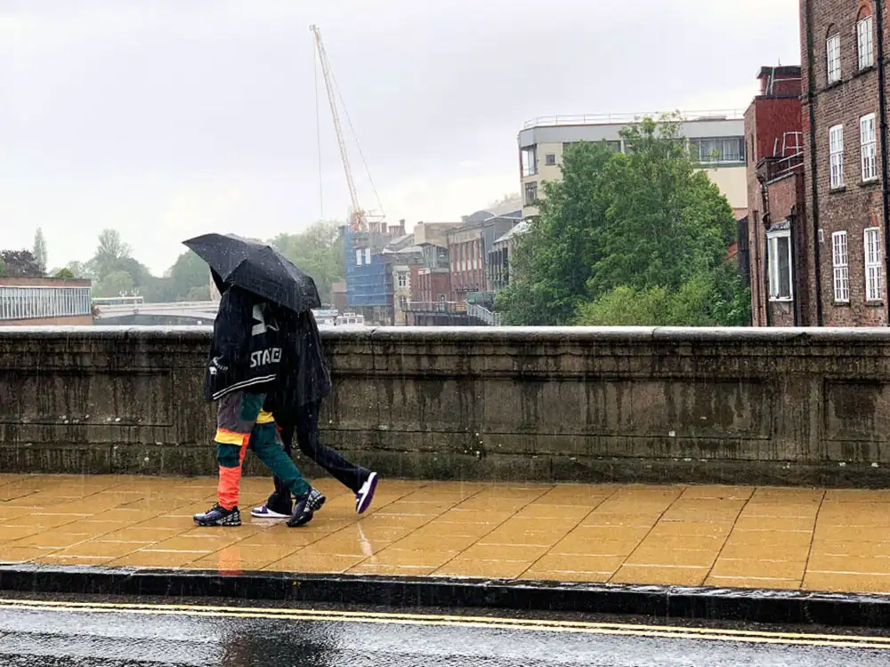

We may be halfway through June, but the weather hasn’t realised it yet.
The Met Office today issued a yellow weather warning for thunderstorms affecting York and North Yorkshire and much of the north of England.
The warning runs from 11am to 10pm today (Saturday, 15 June).
“Slow moving thunderstorms and heavy showers may cause some disruption to travel and outdoor activities,” the Met Office said.
This means:
- There is a good chance driving conditions will be affected by spray, standing water and/or hail, leading to longer journey times by car and bus
- Some flooding of a few homes and businesses is possible, leading to some damage to buildings or structures
- Probably some damage to a few buildings and structures from lightning strikes
- Delays to train services are possible
- Some short term loss of power and other services is likely.
It comes after the UK experienced its coolest first ten days of June since 2020 due to the jet stream dragging unsettled weather across the UK.
“It’s a sad, very showery picture really,” said Dan Stroud, a spokesperson from the Met Office.
The jet stream, a ribbon of high velocity wind in the atmosphere which dictates how the weather flows across the country, has been “dragging the weather down from the north”, said Mr Stroud.
Rainfall this summer has so far been “above average”, Mr Stroud added.
“In much of England and Wales, rainfall has been above average. We’ve had between 125 and 150% of the long-term average of the first five months.”
Temperatures have reached at least 30°C every summer since 1993, but for three out of the last ten, this has not been until July, the Met Office said.
The first days of June 2024 have also been unsettled and cold in comparison to 2023.
“We have had a run of Junes where the weather has been settled and particularly warm. This time last year we had already hit temperatures of plus 30C,” Mr Stroud said.